
Dr Maarten Stapper uses a simple tool to measure soil compaction.

Personal Memories of Lady Eve Balfour
Following our last blog post about Lady Eve Balfour, we received this story from Gwyn Jones. “As a young man, I went to England and
Home » Experts » Dr Maarten Stapper » Maarten Stapper – A simple tool to measure soil health – the penetrometer
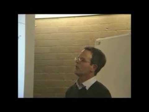
Dr Maarten Stapper uses a simple tool to measure soil compaction.

We explain how to increase your soil carbon levels
PLUS see the full 10 Tips in this Guide!
Following our last blog post about Lady Eve Balfour, we received this story from Gwyn Jones. “As a young man, I went to England and
Towards a Sustainable Agriculture The Living Soil by Lady Eve Balfour The following is the text of the paper exactly as given by Lady Eve
Pat Coleby was born in England in 1920. Early on in her life Pat became interested in alternative health solutions after suffering chronic asthma as
As Soil Lovers we respectfully acknowledge the Traditional Custodians of all the lands on which we work and pay our respects to the Elders past present and emerging.
When caring for your land take a moment in stillness to respect the wisdom your land is sharing with you.
Simply enter your email below to get the
“10 Must Do’s to Farm Profitability” report guide.

2 Responses
I’m probably missing something here but how do I get to see Maarten Staper do anything? Is there a way to see pics rather than a blank page?
Hi Dick,
I’m not sure why the video doesn’t auto load on your page. You should just be able to click the arrow centered on the box in order to watch the video. If that doesn’t work, fortunately you can watch the video on you tube via this URL – http://www.youtube.com/watch?v=O2WjjFvDIUs
cheers.